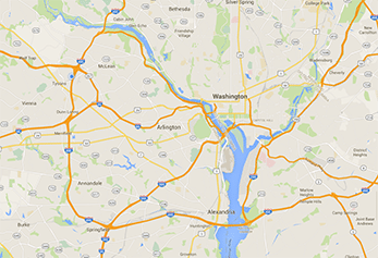
Geographic or GIS Maps
 Geographic or GIS maps lets users visualize data in a spatial way.
Geographic maps let users make better decisions through geographic visualization and analysis of data. It allows report developers to feed in data and plot points on a map such as an actual street address or larger geographic area like zip codes, counties, states, countries, etc. Areas can also be color-coded not unlike a heat map, base on the underlying data to show how specific areas are performing (e.g. for a sales organization) or how they are affected by an event (e.g. appreciation of real estate).
Most data has a component that can be tied to a place: an address, postal code, global positioning system (GPS) location, census block, city, region, country, etc. Geographic mapping lets you visualize, analyze, create and manage data with a geographic component. And you can build compelling maps that help you visualize patterns, trends and exceptions in your data.
Benefits of Geographic Visualization
Using geographic mapping and visualization, users can visualize, explore and analyze data, revealing patterns, trends and relationships that are not readily apparent in other analysis features. Mapping can help you better answers questions such as:
- Where are my customers?
- What is the environmental impact of a new development?
- Where should I put new stores or facilities?
- How can I maximize my sales route or that of my reps?
- Who is impacted in an emergency?
- What are the highest traffic areas of a city?
The better geographic visualization tools offer the possibility to download boundary information from commonly available sources (e.g. the US Census) without having to build everything by hand. Also, they enable drill-down and drill-through to other reports, as well as the placing of markers on the map that are tied to relevant metrics.